
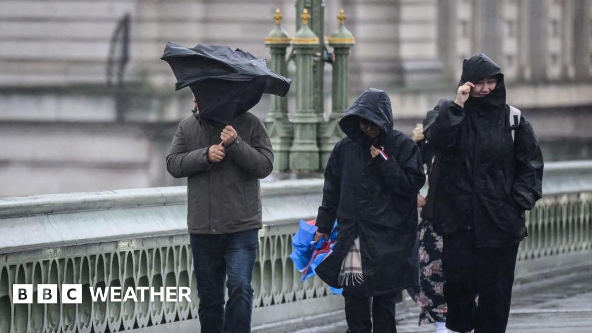
Heavy rain will spread north-east across England and east Wales into Thursday.
The Met Office yellow warning for rain covers much of southern and eastern England from midnight on Wednesday night into Thursday, and through until 21:00 BST.
Rainfall totals by early Thursday morning could be widely 20-30mm (around 1in), and for some places 30-50mm (up to 2in).
There is a small chance a few places could exceed this, for example in Devon and Cornwall. There could even be some isolated showers of up to 90mm across East Midlands, Lincolnshire, Humberside and East Anglia according to the most recent warning updates.
Localised flooding and some transport disruption is possible.
The wind will also strengthen for a time in the early hours across Kent and Sussex, with a Met Office yellow warning in force across eastern England from 03:00 Thursday until 23:59 BST.
While conditions could improve temporarily, the winds will pick up again during the afternoon.
There is an additional yellow warning from covering west Wales and south-west England from 06:00 until 15:00 BST.
Very strong north-westerly winds gusting to 45-55mph (70-90km/h) in both areas are possible, while locally 60mph (97km/h) on exposed coastal areas.
While there is still some uncertainty on the intensity of this weather system, the Met Office warns that there is potential for gusts up to 75mph (120km/h) for a small period of time later on Thursday morning down the North Sea coast.
These wind speeds have the potential to topple trees or their branches, cause travel disruption and even bring power cuts.


Leave a Reply