
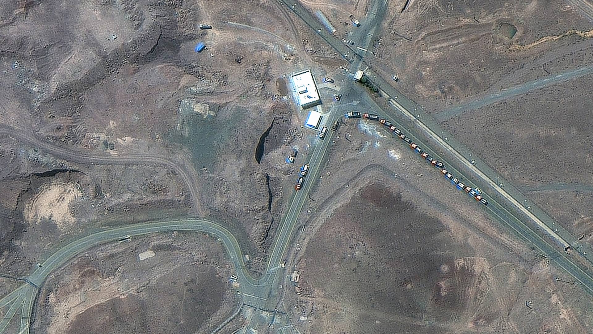
The images of the secretive plant, which were collected on Thursday and Friday, depict truck and vehicle activity near to the entrance of the underground military complex.
Located 300 feet under a mountain and reinforced by layers of concrete, Iran’s fortress-like Fordo facility is situated to the south of Iran’s capital of Tehran. It is the country’s most hardened and advanced nuclear site.
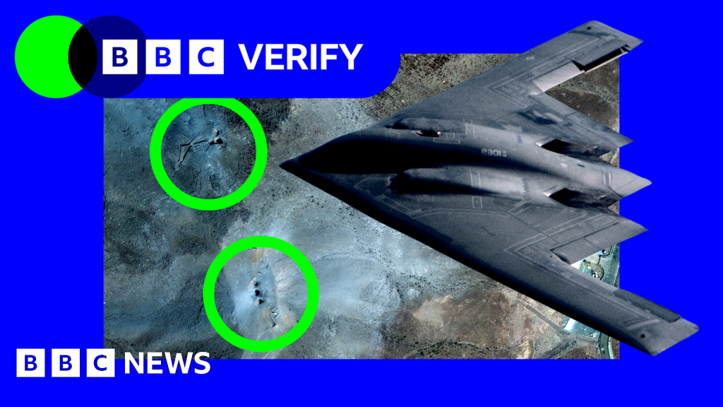
Alongside nuclear facilities at Natanz and Isfahan, Fordo was the target of U.S. air strikes on Saturday. Trump described the incursion as a “spectacular military success” that “completely obliterated” Iran’s key enrichment facilities.
The U.S. president’s claim about the result of the operation could not be independently confirmed. The International Atomic Energy Agency and Iran’s nuclear safety center had reported no radiation or contamination at the nuclear centers following the attacks, as of Sunday morning London time.
Satellite image ©2025 Maxar Technologies
Maxar satellite imagery of Fordo fuel enrichment facility.
Satellite image ©2025 Maxar Technologies
Maxar satellite imagery of Fordo fuel enrichment facility.
Satellite image ©2025 Maxar Technologies
Maxar satellite imagery of Fordo fuel enrichment facility.
Satellite image ©2025 Maxar Technologies
Maxar satellite imagery of Fordo fuel enrichment facility.
Satellite image ©2025 Maxar Technologies


Leave a Reply